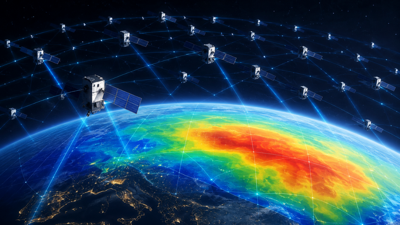
1,200 Starlink satellites help map Earth's hard-to-observe upper atmosphere
Why This Matters
Key context: Starlink satellites are now helping scientists map Earth's upper atmosphere. Researchers used orbital data from Starlink to estimate thermosphere density. This method creates a two-dimensional map of atmospheric density variations. The findings offer a new way to study this difficult-to-observe region. Commercial satellite data is becoming an unexpected scientific resource. This development from timesofindia.indiatimes.com highlights ongoing changes in the sector.
Starlink satellites are now helping scientists map Earth's upper atmosphere. Researchers used orbital data from Starlink to estimate thermosphere density. This method creates a two-dimensional map of atmospheric density variations. The findings offer a new way to study this difficult-to-observe region. Commercial satellite data is becoming an unexpected scientific resource.
Curation & Context
This page summarizes a public news report from timesofindia.indiatimes.com. Global News Hub provides the "Why This Matters" takeaway using editorial insights and AI curation to give readers rapid, high-value context before they click through to read the full article.